Winter Storm Fern pounds half the U.S. with ice, deep cold and mass travel disruptions
A sprawling winter storm stretching from the South to New England is bringing hazardous ice, heavy snow and brutal cold, knocking out power to hundreds of thousands and triggering widespread flight cancellations.
- BYLINE
- Lagos Tribune News Desk
- PUBLISHED
- UPDATED
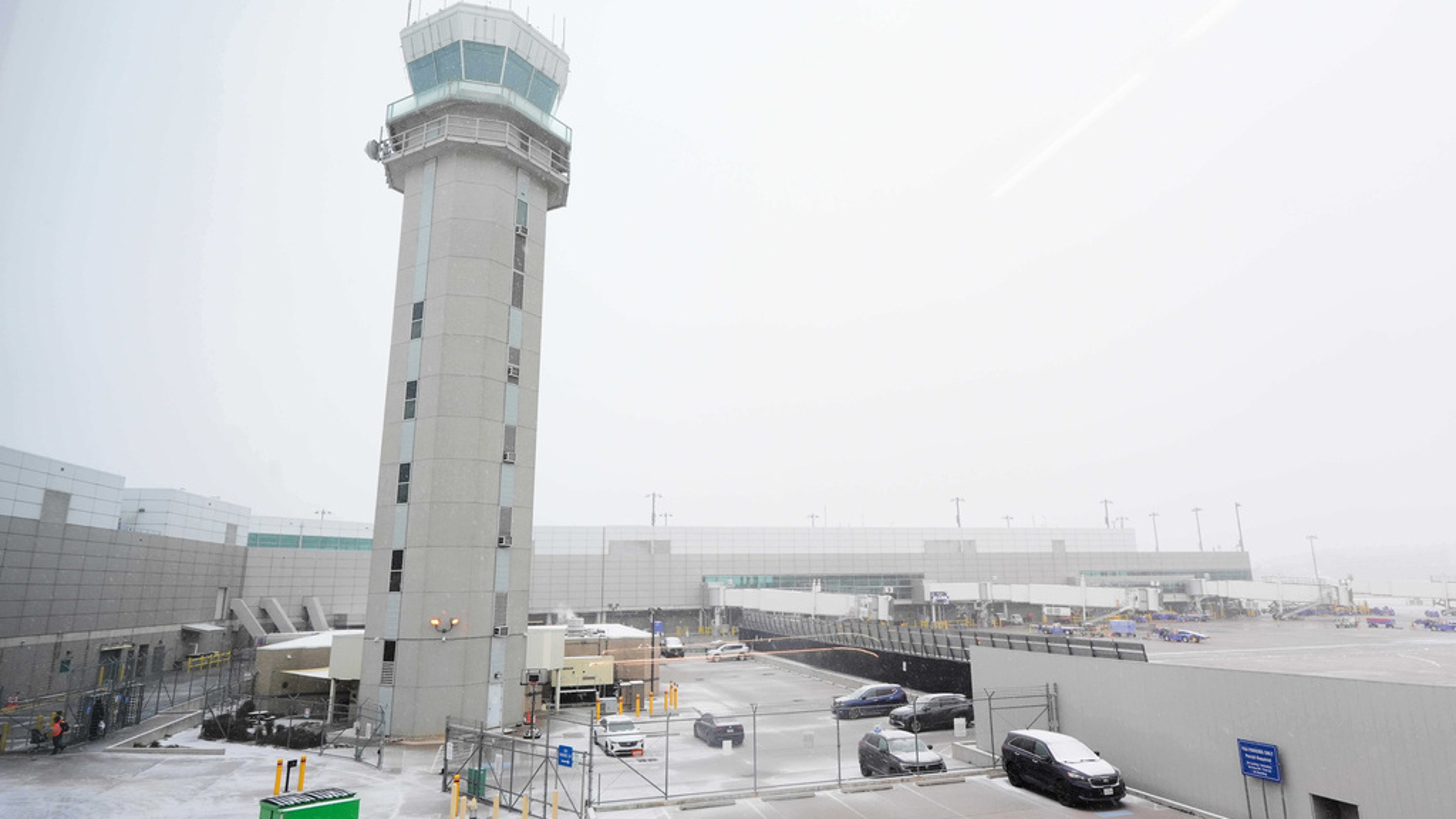
A massive winter storm sweeping across the United States on Sunday, January 25, 2026, is delivering a punishing mix of freezing rain, sleet and snow from the Southern Plains to the Northeast. Forecasters say the system’s reach spans roughly 2,000 miles, creating a patchwork of dangerous conditions that vary by region but share the same bottom line: travel is treacherous, infrastructure is strained and recovery will be slowed by persistent cold.
The National Weather Service warned that parts of the storm corridor could see significant ice accumulation alongside heavy snow, with bitter Arctic air settling in behind the storm. That combination is a worst-case scenario for roads and power lines, since ice can quickly turn highways into skating rinks and weigh down trees and cables until they snap. Officials in multiple states urged residents to stay off roads unless absolutely necessary, citing widespread reports of crashes, downed limbs and impassable routes.
Power outages mounted as the storm intensified. Utility crews faced difficult working conditions, including slick surfaces and continuing precipitation. In the hardest-hit areas, the cold also raises the stakes for vulnerable residents who may lose heat. Local emergency managers opened warming shelters and asked the public to check on neighbors, especially seniors and anyone relying on electric medical equipment.
Air travel was heavily disrupted, with thousands of flights canceled and many more delayed as ice and snow snarled operations at major hubs. Airlines warned that even after the heaviest precipitation moves out, the deep freeze can keep aircraft de-icing and ground operations slow, stretching delays into the following days. Road and rail impacts also grew as plow crews and highway departments struggled to keep up with shifting bands of snow and glaze.
Emergency declarations and federal coordination expanded as the storm spread. Officials emphasized that the danger is not limited to the height of the snowfall or ice, but also the extended period of below-freezing temperatures that can refreeze melted slush overnight, burst pipes and complicate restoration work. Residents were advised to stock essentials, keep phones charged and treat downed power lines as live.
Meteorologists said the storm’s impacts will be felt unevenly, with some places seeing mainly snow while others face crippling ice. Either way, authorities cautioned that the most dangerous moments often come when people assume conditions are improving and attempt to travel too early. With the storm still unfolding on January 25, officials urged patience and preparedness as the system continues eastward and cold air lingers behind it.